Gamog Rural Water Supply
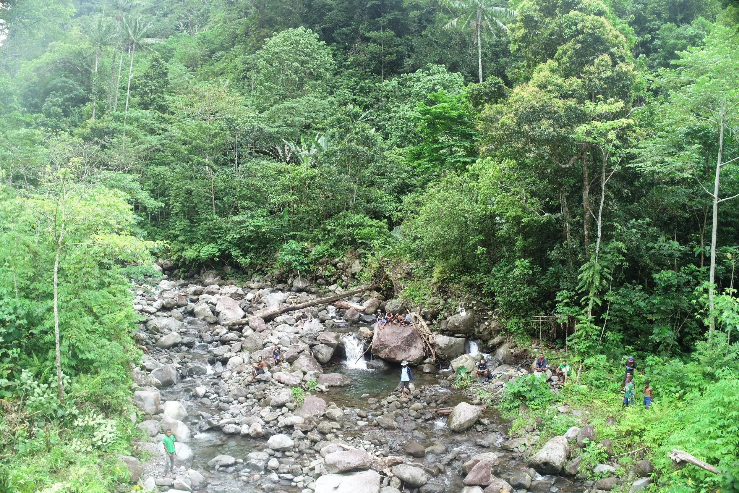
On the Island of Karkar in Madang Province, SAP & Associates team of engineers and surveyors and the contractor, SIGMA CONSTRUCTION LIMITED embarked on this challenging project to conduct a detailed remote DTM (Digital Terrain Model) survey using cutting-edge drone technology with engineering investigation. The objective was to meticulously assess and survey the rugged terrain of the island, with a specific focus on the Gamog Creek, which emerged from the extinct volcanic crater.
The project's primary goal was to evaluate the feasibility of the project, survey it, and design a water supply system to serve the southern part of Karkar Island. The chosen source intake for the water project was situated at an elevation of approximately 500 meters above sea level, emphasizing the need for precise topographic data to plan the infrastructure effectively.
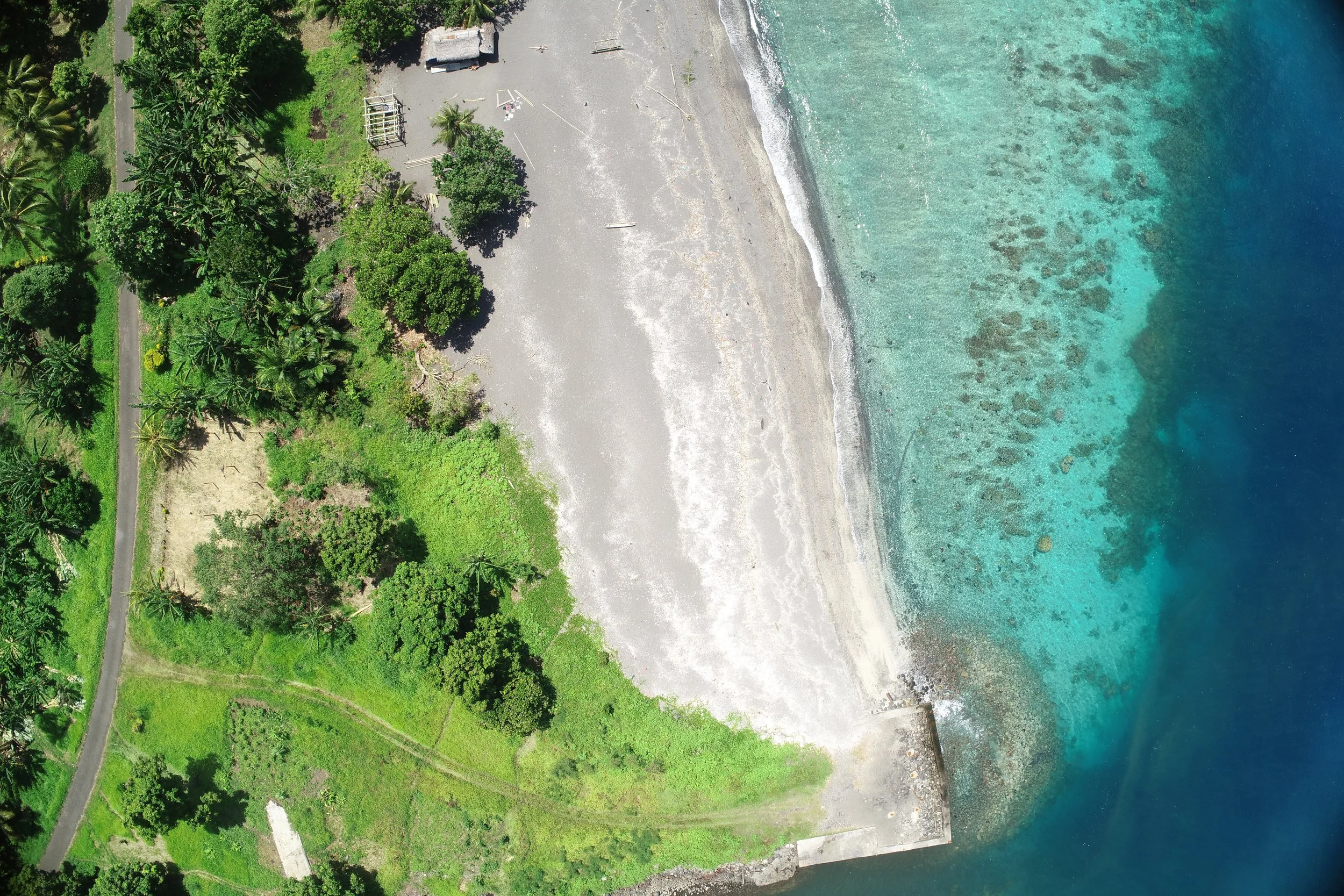
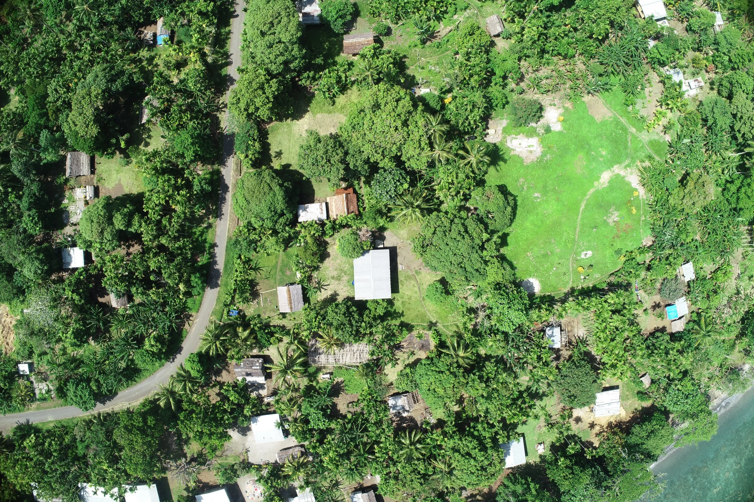
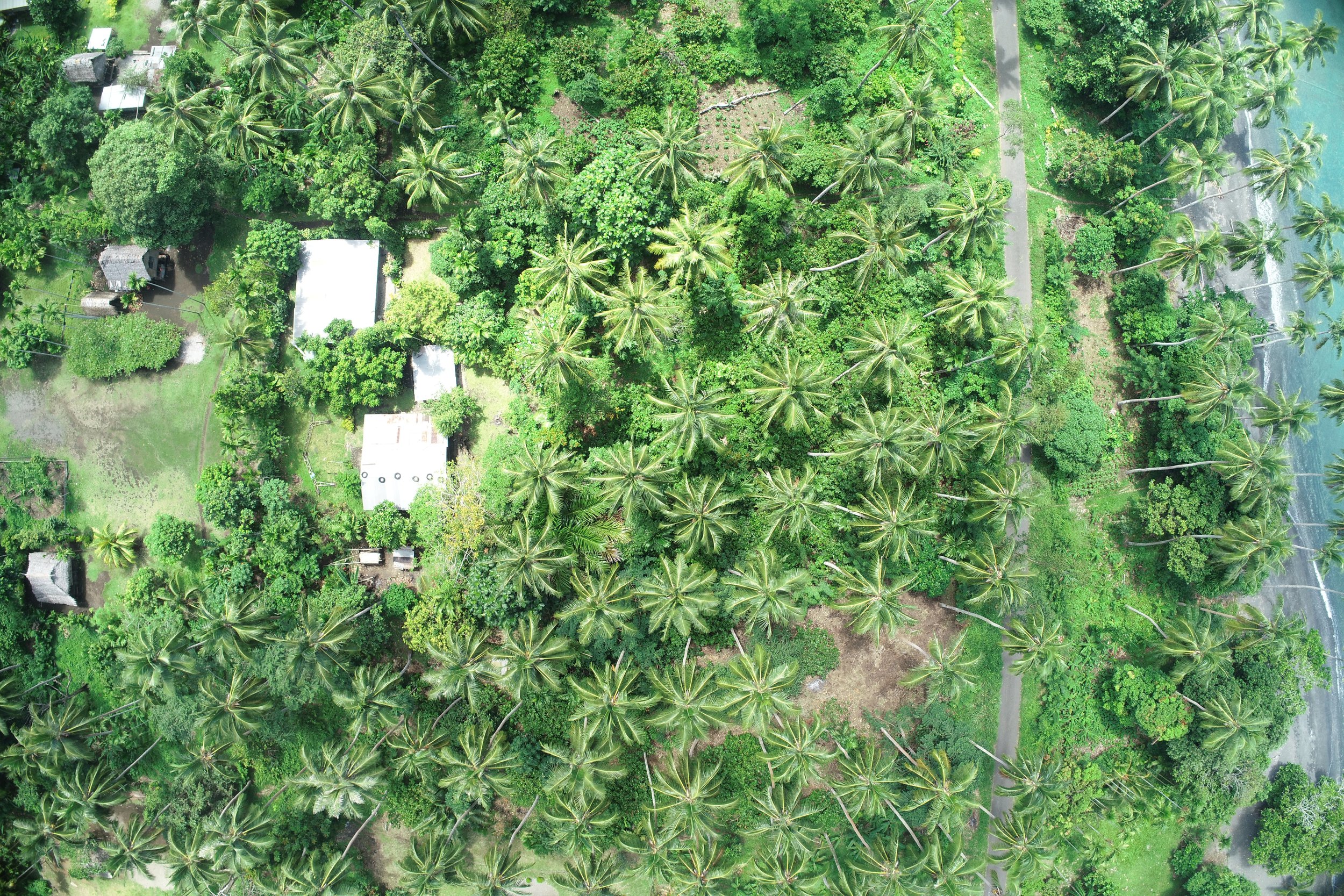
The team meticulously mapped the terrain, capturing high-resolution aerial imagery and creating intricate 3D models of the landscape. Despite contending with unpredictable weather conditions and navigating the dense vegetation of the island.
The successful completion of the remote DTM survey, Investigation and detailed design documentation represented a significant milestone in the team’s efforts to improve the quality of life for the residents of Karkar Island. Their meticulous efforts and dedication paved the way for the implementation of a sustainable water supply system that would serve the communities in the southern part of the island for generations to come.

Gamog Village and Gamog Primary School (508m above sea level) where road access inland is terminated. The water source intake (Gamog Creek) is 400m away from this area. The water supply serves several schools and communities towards the coast.


